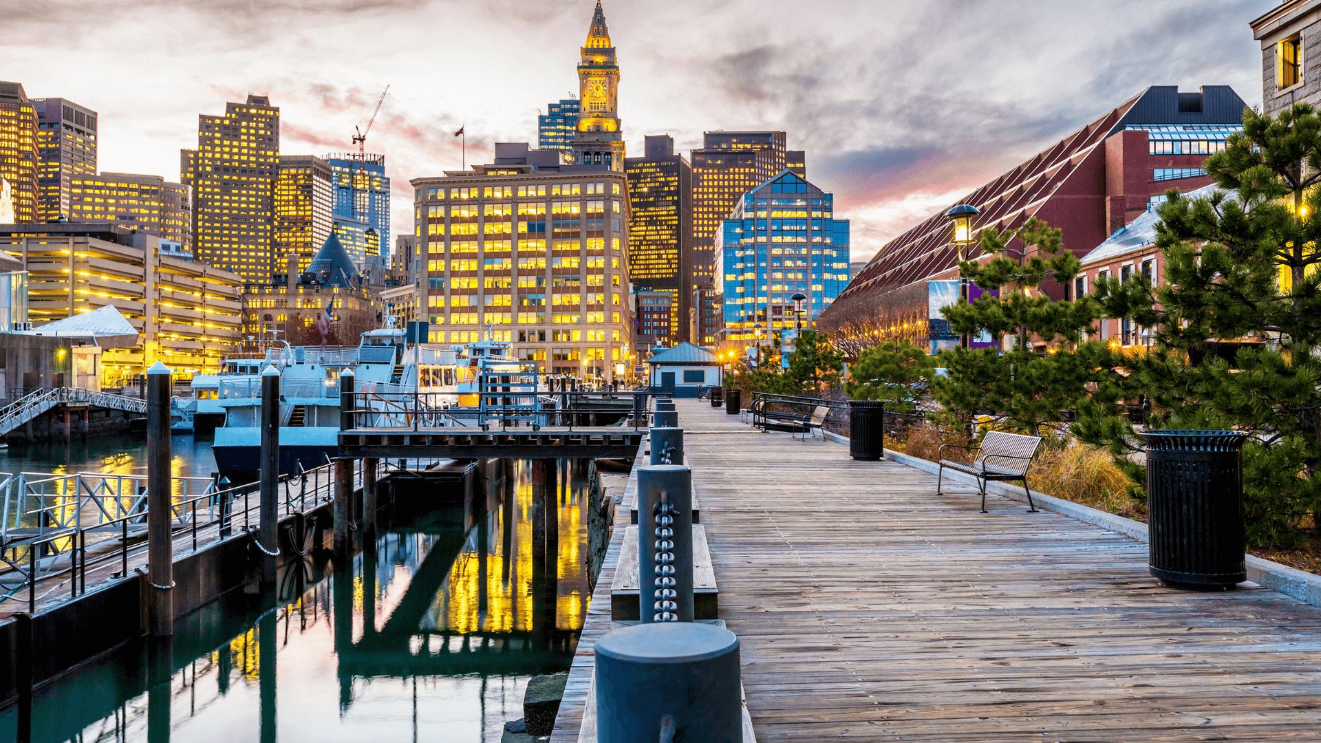
Boston is a lively city packed with historic charm, unique neighborhoods, and plenty of ways to get from place to place.
Whether you’re visiting for the first time or navigating daily life as a local, understanding Boston’s transportation system can make all the difference in exploring everything the city has to offer.
In this article, we’ll cover Boston’s wide range of transportation options, from public transit and biking to ferries and walking-friendly areas. Plus, we’ll share tips for accessing popular destinations like Fenway, the North End, and Harvard Square.
Public Transit in Boston
Navigating Boston’s public transportation system, operated by the Massachusetts Bay Transportation Authority (MBTA), is one of the easiest ways to get around. Known locally as “The T,” the system includes subways, buses, commuter rail, and even ferries.
Boston’s Subway System (The T)
The MBTA subway system spans several lines, each color-coded for easy navigation. Key lines and connections include:
- Orange Line: Connects neighborhoods like Back Bay to Downtown Boston and Forest Hills.
- Green Line: Offers access to Fenway, the Boston University campus, and the northern parts of Back Bay.
- Red Line: Connects you to Cambridge (Harvard Square and MIT) and South Boston.
- Blue Line: Provides a direct route to Logan Airport from Downtown.
Top Tip: Get a CharlieCard for discounted fares and faster boarding. A single subway ride costs $2.40 with a CharlieCard, compared to $2.90 with paper tickets.
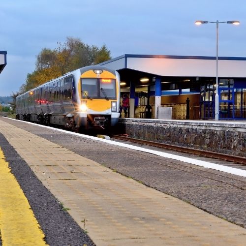
Commuter Rail Connections
The MBTA Commuter Rail links Boston with surrounding suburbs and beyond. Key stops include North Station, South Station, and Back Bay Station. This service is ideal for day trips to places like Salem or Worcester.
Bus Routes and Accessibility
MBTA buses extend transit coverage to areas not served by the subway. Routes like the 1, 39, and Silver Line connect popular neighborhoods and destinations. The Silver Line also provides a free connection from Logan Airport to South Station.
Practical Tip: Use Google Maps to check real-time schedules and plan your route.

Walking Around Boston
Boston is one of the most walkable cities in the U.S. Its compact layout, historic streets, and pedestrian-friendly design make walking a favorite way to explore. Some popular walking destinations include:
The Freedom Trail
The Freedom Trail is a 2.5-mile red-brick path that guides you through 16 historic sites, each telling the story of Boston’s role in the American Revolution. Starting at Boston Common, the trail winds through Downtown Boston, the North End, and Charlestown.
Highlights Along the Trail:
-
- Boston Common: America’s oldest public park, a serene spot to begin your journey.
- Granary Burying Ground: Final resting place of figures like Paul Revere and Samuel Adams, surrounded by ancient headstones shaded by towering trees.
- Faneuil Hall: A bustling marketplace and historic meeting hall where revolutionary speeches once echoed.
- Old North Church: Famous for the “one if by land, two if by sea” signal, its steeple offers a glimpse into Boston’s revolutionary past.
- Bunker Hill Monument: Conclude your walk in Charlestown with panoramic city views after climbing 294 steps to the top.
The North End
The North End is Boston’s oldest residential neighborhood, known for its Italian heritage and cobblestone streets. This area is a sensory delight, with the scent of fresh bread wafting from bakeries and the hum of lively conversations spilling from cafes.
Must-Visit Spots:
-
- Hanover Street: The neighborhood’s main thoroughfare, lined with classic Italian restaurants like Giacomo’s and cafes like Caffé Vittoria.
- Paul Revere’s House: Step back in time at this preserved 17th-century home of the famous midnight rider.
- Mike’s Pastry and Modern Pastry: Compete for the title of best cannoli by trying both.
- Christopher Columbus Park: A waterfront park with stunning views of Boston Harbor, perfect for a peaceful pause during your walk.
The Public Garden
Located adjacent to Boston Common, the Public Garden is a lush retreat in the heart of the city. Established in 1837, it was the first public botanical garden in the U.S. and is beloved for its Victorian design.
What to See:
-
- Swan Boats: Take a leisurely ride on the lagoon, a tradition dating back to 1877.
- Make Way for Ducklings Statues: A whimsical homage to the classic children’s book, perfect for kids and photo ops.
- Floral Displays: Seasonal flowers like tulips in spring and chrysanthemums in fall create a colorful, ever-changing landscape.
- Willow Trees and Lagoon: Stroll along shaded paths beside the peaceful lagoon, home to ducks and swans.
Biking in Boston
Cycling is another great way to navigate the city. Boston has dedicated bike lanes and bike-sharing options through Bluebikes.
- Bluebikes Rental: A single trip costs $2.95, and a day pass is $10. Rental stations are located citywide, making it easy to pick up and drop off bikes.
- Popular Routes: Enjoy scenic rides along the Charles River Esplanade or through Boston Common.
Safety Tip: Always wear a helmet and use marked bike lanes whenever possible.
Water Transportation in Boston
Boston’s harbor offers some unique travel options using the city’s ferries and water taxis.
MBTA Ferries
The MBTA runs ferry services that connect key waterfront locations, making it easy to travel between Downtown Boston, Charlestown, Hingham, and Hull.
- Charlestown Ferry: This route connects Long Wharf in Downtown Boston to the Charlestown Navy Yard, offering a quick and scenic way to visit the USS Constitution Museum or explore the historic Charlestown neighborhood.
- Hingham/Hull Ferry: Perfect for those heading to the South Shore, this ferry runs from Rowes Wharf in Boston to Hingham and Hull. It’s an excellent choice for visitors exploring Nantasket Beach or residents commuting to the city.
Water Taxis
Water taxis are an even more flexible way to travel along Boston’s waterfront. These small boats operate on-demand, making them ideal for trips to and from locations like Logan Airport, the Seaport District, and the North End.
- Logan Airport: Skip the traffic by taking a water taxi directly from Logan to various waterfront locations in the city. It’s fast, convenient, and offers a unique arrival experience.
- Seaport District: Use a water taxi to explore Boston’s Seaport, home to trendy restaurants, the Institute of Contemporary Art, and stunning harbor views.
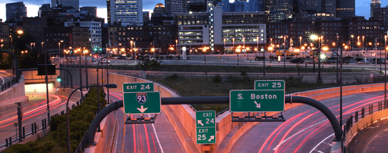
Driving and Parking in Boston
Driving in Boston can be challenging due to traffic and limited parking. If you choose to drive:
- Use public parking garages or metered street parking.
- Pay attention to residential parking zones and regulations.
Parking Tip: Avoid peak hours and use SpotHero to reserve parking in advance.
Regional Connections
Getting in and out of Boston is simple, thanks to its strong regional transit links:
- Logan Airport: Accessible by the Blue Line, Silver Line, and water taxis.
- Amtrak: Offers train service from South Station to major cities like New York, Washington D.C., and Portland, Maine.
Transportation Comparison
| Mode | Cost | Time Efficiency | Convenience |
|---|---|---|---|
| Subway (The T) | $2.40 (CharlieCard) | High | Extensive coverage |
| Bus | $1.70 (CharlieCard) | Medium | Neighborhood access |
| Commuter Rail | Varies by zone | Medium to High | Regional travel |
| Walking | Free | High for short trips | Best for sightseeing |
| Biking | $2.95 per trip | Medium | Scenic routes |
| Ferries/Water Taxis | $3.70+ | Medium | Scenic and fast |
| Driving | Varies | Medium to Low | Parking challenges |
Tips for Traveling Smarter in Boston
- Travel during off-peak hours to avoid crowds, especially on public transit.
- Use Google Maps or Citymapper for live updates and navigation.
- Plan ahead if you’re visiting popular destinations like Fenway or Harvard Square.
Best Way to Get Around Boston
No matter your travel style or purpose, Boston offers a transportation option that fits your needs. Here’s a breakdown of the best ways to explore the city based on who you are and what you’re looking for.
For Families
Families visiting Boston will find the MBTA’s public transit system incredibly convenient for reaching top attractions without the hassle of driving or parking. The Green Line can take you to Fenway Park for a family-friendly baseball game, while the Science Park/West End Station on the Green Line offers easy access to the Museum of Science. The Red Line provides a direct route to places like the Boston Children’s Museum and the New England Aquarium.
Tip for Families: Strollers are allowed on the subway, and kids under 12 can ride the MBTA for free with a paying adult. Bring a CharlieCard to save on fares and reduce waiting time.
For Solo Travelers
Solo travelers will love Boston’s walkable layout and bike-friendly streets, which offer a chance to explore at your own pace. Stroll through the North End to experience authentic Italian food and charming cobblestone streets, or bike along the scenic Charles River Esplanade for stunning views of the city.
Both walking and biking allow you to discover hidden gems, like small cafes in Beacon Hill or boutique shops in the South End. The city’s Bluebikes program makes biking accessible, with rental stations located throughout Boston.
For Commuters
For daily commuters, the MBTA is a go-to option for reliability and cost-effectiveness. The subway’s frequent service connects Boston’s residential neighborhoods to its business hubs, while the Commuter Rail extends to the suburbs. Popular stations like South Station and Back Bay Station make it easy to travel efficiently to Downtown, Cambridge, or even Logan Airport.
The MBTA’s bus routes fill in gaps where the subway doesn’t reach, providing flexible options for navigating the city.
Tip for Commuters: Download MBTA Go to check real-time schedules and avoid delays and buy a monthly pass for unlimited rides to save money if you use public transit daily.
About The Author

Brianna Correia
Hey, guys! It’s Brianna, the Senior Marketing Specialist at Compass. Find me here on LinkedIn and we’ll connect!